


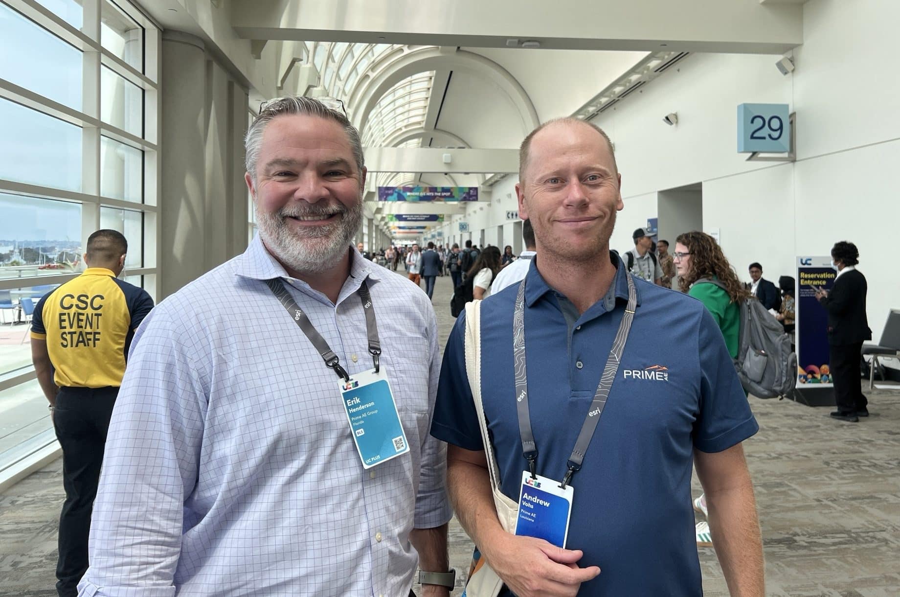
Geospatial team members Andrew Vohs (GIS Data Specialist) and Erik Henderson (Director, GIS) recently attended the Esri User Conference in San Diego, CA—the world’s largest gathering of GIS professionals. From presenting at special interest group sessions to exploring the latest geospatial technology (and even fitting in a 5K run), they made the most of the experience. Here are some of their top takeaways from this year’s conference:
Andrew Vohs
What was your biggest takeaway from the conference?
With such a large and complex suite of applications, problems that arise can be hard to tackle when left to your own devices. Conferences like this get you in front of the developers who have seen it all, and these are the people who can, very quickly, guide you to the solution to just about any problem.
What surprised you most about the event?
The value of talking to developers who create tools that monitor and evaluate ESRI deployments. The tools are developed by individuals both within ESRI and Outside of ESRI, which shows me the potential for developing our own tools geared toward our specific deployment. These tools show the power of using developer tools that can be used to indicate inefficiencies in our own deployment. I have already began implementing them and will incorporate them as routine maintenance moving forward as our GIS needs grow and change.
What trend seemed to be on everyone’s mind?
AI and Machine learning, which I have been “beta testing” in ArcPRO on common process we encounter.
What was your favorite session or panel, and why?
An individual session does not stand out, but there are hundreds of sessions available. Attending these can be the equivalent of an expensive instructor-led course. I took away some key points that are already helping PRIME accomplish our goals in the GIS steps just two working days after the conference.
What’s one piece of advice you plan to take back to your team?
Utilize the free resources ESRI puts out if you are utilizing their software. This suite is growing and changing rapidly, and by staying up-to-date, users can speed up and automate their processes.
Erik Henderson
What was your biggest takeaway from the conference?
There is such a large GIS Community around the world, all excited and motivated to work together to come up with the most effective and interesting ways to implement spatial technologies. It is so great to be a part of it and to have that community to lean on and learn from.
What new idea or insight are you still thinking about?
I was very intrigued to see all the great examples of digital twins being implemented around the world. Two things continue to pique my interest. One, I would like to continue to learn about all the latest survey methods like drones and lidar to collect all of the information needed for the model. Secondly, I would like to understand how end users are interacting with the digital twins to get the most value out of their investment so that we can deliver that same value to our clients.
What trend seemed to be on everyone’s mind?
While I mentioned the digital twin, Artificial Intelligence (AI) and Machine Learning (ML) seemed to be the hot topics of the conference.
What’s one piece of advice you plan to take back to your team?
There is a lot of great new technology being released to the market that can help us do our jobs safer and more efficiently. I want to challenge our teams to think outside the box of where we can implement these new technologies to best benefit our clients.


